
Rugu·Map
Commissioned by ICMAN-CSIC, citizen science
An app that lets anyone help monitor an invasive seaweed.
For the Andalusian Institute of Marine Sciences: anyone walking along the coast can record in under a minute where the Asian seaweed is piling up, even without signal. Scientists study the data in a dashboard with a heatmap, a PDF report and export to CSV, GeoJSON and KML.
- people signed up
- 250+
- languages
- 5
- steps to record
- 4
The problem
The seaweed Rugulopteryx okamurae piles up on beaches in southern Spain and harms fishing and tourism. Knowing where and when it appears takes a lot of people watching the coast, and the coast often has no signal.
What I did
The Android and iOS app and the researchers’ dashboard, with its server hosted at CSIC.
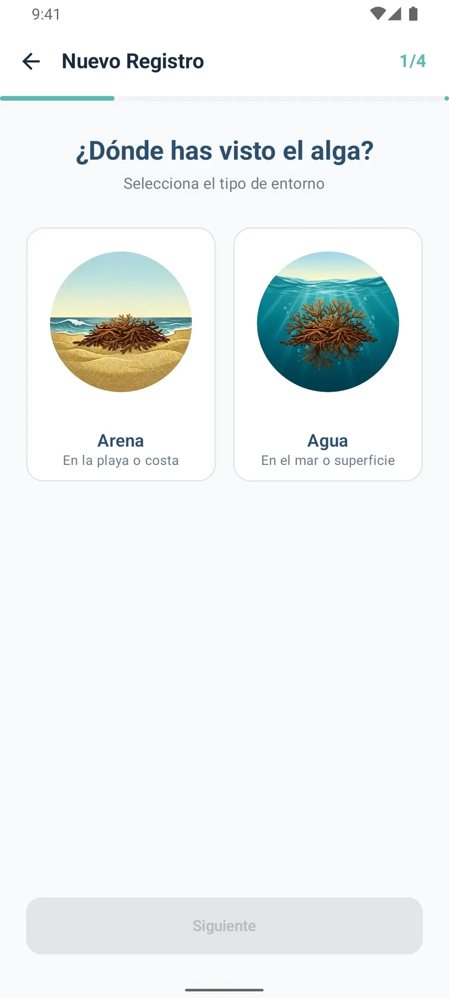
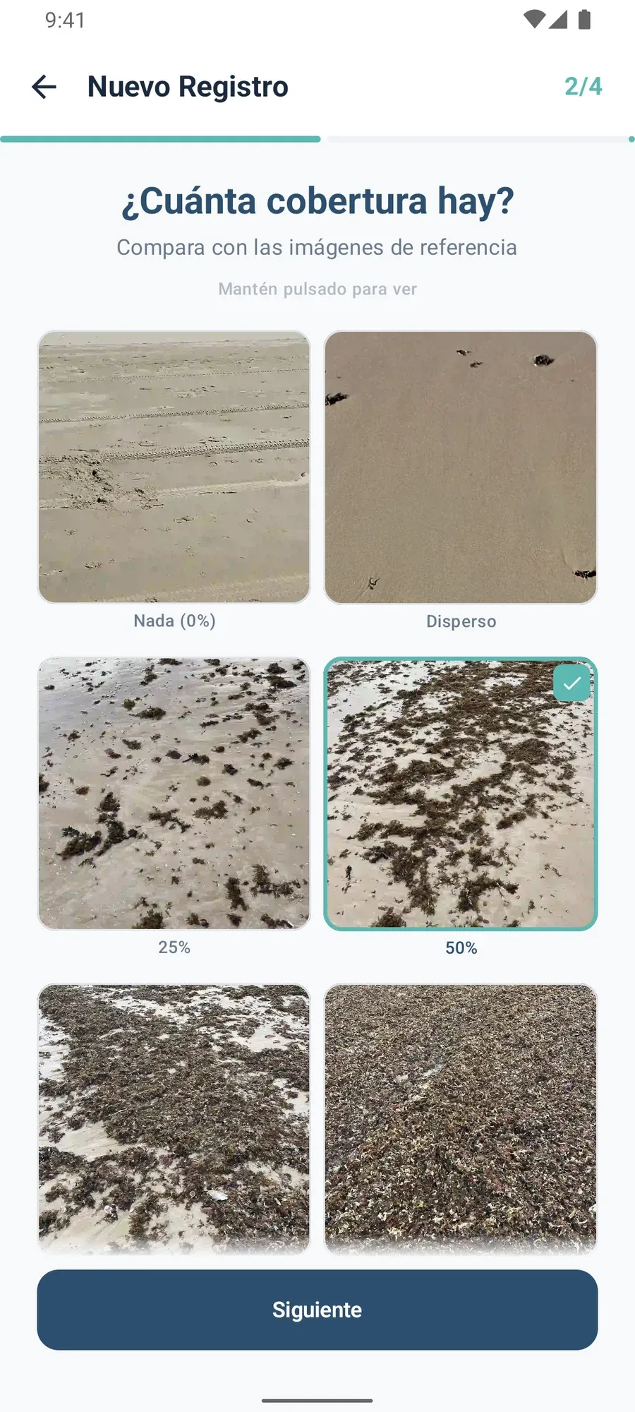
- Four-step report: where the seaweed is, how much there is (with reference photos), a photo, and confirm.
- Works offline: the report waits on the phone and is sent automatically when signal returns.
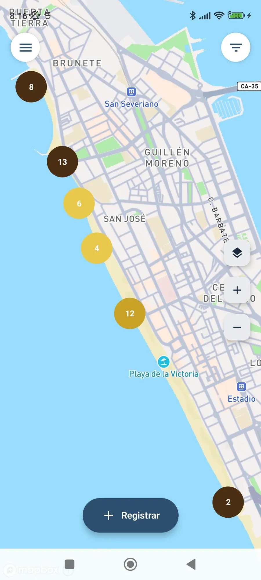
- Map of reports with filters and satellite view.
- Five languages, including Arabic.
- Dashboard for the research team: heatmap, indicators, PDF report, moderation, and export to CSV, GeoJSON and KML.
Three decisions
- An offline queue that never loses anything. Pending reports are stored in files written atomically, and they are recovered even if the app is closed halfway through.
- Camera-only photos. You can’t pick one from the gallery, so the place and time are real. It is scientific data, not a pretty picture.
- A dashboard with no server of its own. It is a static website that talks directly to CSIC’s server, so the institute doesn’t depend on me to keep it running.
Result
More than 250 people signed up in the first months.
The app, screen by screen
The map of reports
Step 1: sand or water?
Step 2: compare with photos
A single report
Satellite view
Reports on one beach
Filters
Welcome
On the big screen
Research dashboard
RoGEO project of ICMAN-CSIC, funded by Fundación Biodiversidad (MITECO) through the Pleamar Programme and co-funded by the European Union (EMFAF).